Hiking Team: Dave Miller, Rosie Miller
Date: July 21, 2026
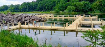
This was a fantastic park. It is located beside a working quarry, the site of Marble Cliff Quarry, once the largest contiguous quarry in the USA. The park’s theme is outdoor recreation as it offers a mountain bike trail, a sled hill, sport climbing area, miles of hiking trails, small lakes, fishing, canoeing and a big waterfall. It also has the first urban via ferrata in the USA, so named for ladder, rungs, and cables permanently affixed to rock faces and used as climbing aids for the climbers. The climb is roughly 50 feet to reach a 90-foot suspension bridge situated 105 feet in the air. We will have to return to do this.
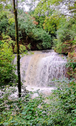
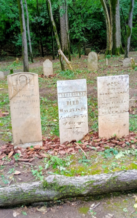
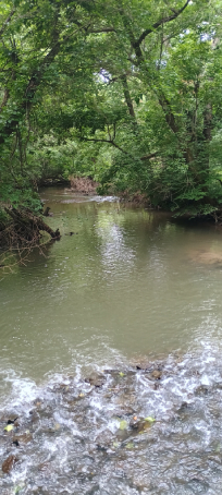
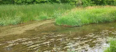
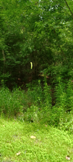
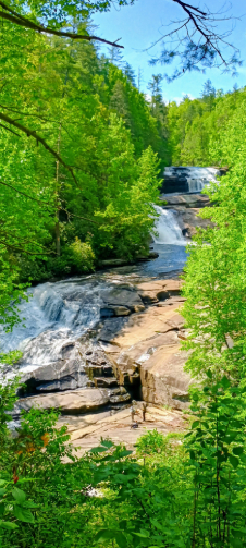
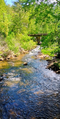
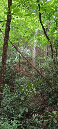
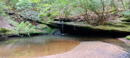
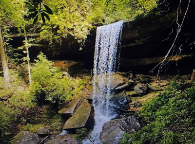
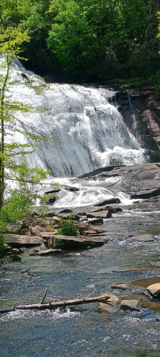
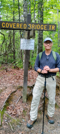
We began hiking on the 1.1-mile North-South Connector Trail which connects the parks three sections. We also hiked on the shorter Flat Rock Trail and then ascended the .6-mile Millikin Falls Trail to an incredible 25-foot gushing waterfall called Millikin Falls which no doubt was aided by torrential rainfall just 90 minutes before we hiked. Near the end of our 3.2-mile hike, we visited the historic Britton Cemetery just off the N-S Trail. It holds the remains of early settlers, many dying between the 1820’s and the 1860’s.