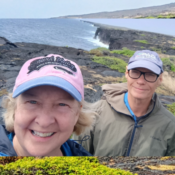
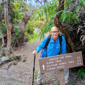
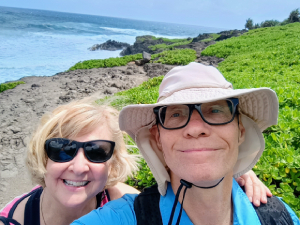
Hiking Team: Dave Miller, Rosie Miller
Date: March 6, 2025
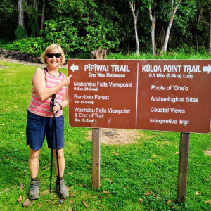
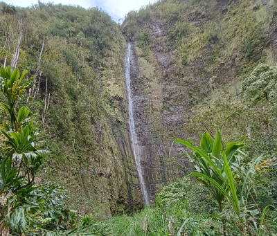
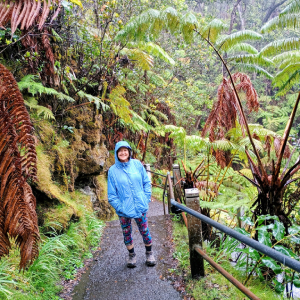
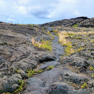
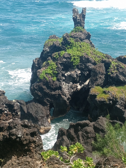
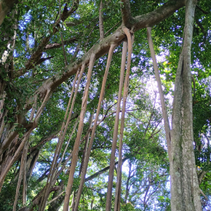
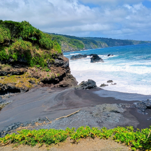
One of our favorite and prettiest hikes of the trip. Lots of photos because this trail was so beautiful and the ecology so diverse. The trail was two miles up and two miles back. The trail began near the visitor center and climbed 800 feet past guava, avocado and mango trees (I put several mangos and avocados in my backpack to eat later), lots of greenery and parallel to a stream. The trail was rocky, with some stone steps or tree roots to trip over. We came to an enormous banyan tree whose long arms spread across the entire trail. After half a mile there was an opening and overlook in the trees to see a gorge and the 200-foot Makahiki Falls. One problem – the falls were almost bone dry. Just a trickle spilling down. It made me think, will Waimoku Falls at the end of the trail be dry?
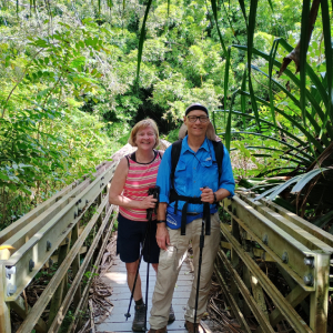
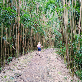
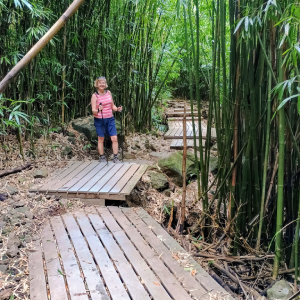
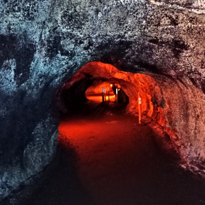
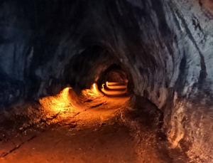
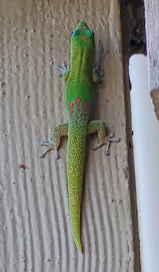
As we ascended the trail, occasionally a mongoose would dart across the path (Photo#11 is a mongoose – they were so fast that I could never snap their photo). We eventually came to a bridge over Paikea Stream with a small waterfall and fast flowing water. Clinging to the bridge was a beautiful colorful gecko. At the end of the bridge began the incredible bamboo forest (Photo#6,7 & 8). The mostly boardwalk trail through this area wound through these hard, vigorous trees for quite a while. The trail ended at the base of a ridge and ahead was the beautiful 400-foot Waimoku Falls which was fed by Pipiwai Stream, a spring and by rainfall. We rested and admired the view as temperatures had risen to 83 degrees.