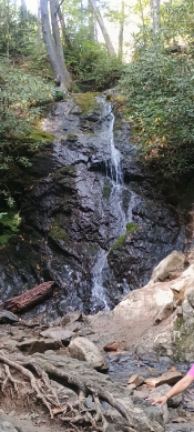
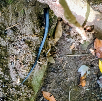
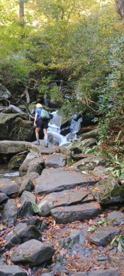
This easy flat trail led 1.4 miles out and back from Sugarlands Visitor Center to Cataract Falls. The trail had many tree identification markers. The trail ran mostly parallel to Fighting Creek, a tributary of the West Prong of the Little Pigeon River. Near the falls we hiked a little of the Cove Mountain Trail. Rosie unnoticedly almost stepped on a long beautiful blue colored snake. I snapped a few photos as it slithered along the bank below the trail and identified it as a blue rat snake.
This was one of three trails surrounding the Kuwohi Observation Tower totaling about 1.4 miles and was a good morning trail to warm up our muscles since it was about 50 degrees. Recent rains made the trail (a former stream bed) a little wet in parts but descended just below the highest point in Tennessee and ended near the Kuwohi parking lot and Visitor Center. The trail was rocky and slow going with occasionally gave us views of the ridge and valley. Some leaves were changing colors, and we saw squirrels periodically cross our path. We ran into a couple who were jogging this trail going in the opposite direction uphill towards the peak. We also met a nice Asian family on the trail and there friendly, talkative daughter named Eva. This trail is a nice hiking trail to take to and from the Kuwohi Observation Tower in leu of just hiking up the .6-mile steep paved path to the tower.
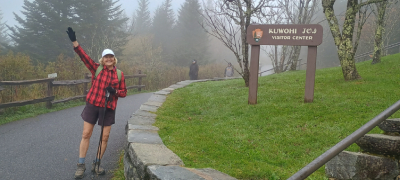
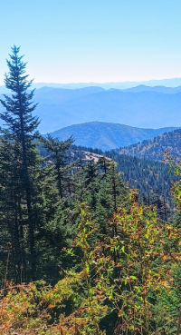
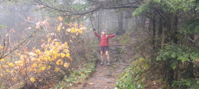
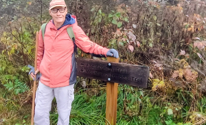
Just below the highest point in Tennessee (6,643 feet) at the summit of Kuwohi (formerly named Clingman’s Dome) we began hiking a section of two iconic trails. From the Sugarlands Visitor Center down in the valley, the temperature had dropped at this height nine degrees to 48 degrees, and it was quite foggy in the low clouds. The trail was tight, but the trees kept the wind from making it even colder on this high ridge. Occasionally there were small openings in the trees so when the fog parted you had great views of the distant ridges. Although the national park was very crowded with people coming to see the fall tree colors, the trees had not really turned beautiful yet except for small areas way up here on the peaks. One of the photos below shows some fallen leaves that were quite colorful. We hiked about a mile before connecting with another trail.
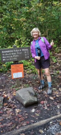
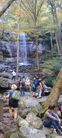
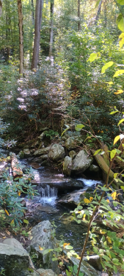
This memorable trail we last trekked in October 2020 and found a GoPro camera in the stream of water flowing down from the falls. Due to peak season in the park, we were lucky to find a parking spot about .4 miles down the road from the trailhead. A mile back before we parked, we spotted a mother bear and a baby cub foresting for berries near the roadside. Another sign said just under 3 miles to the falls. The sign at the trailhead warned hikers about feeding bears. By the time we hiked a side trail then up to Rainbow Falls and back, we hiked about 9.1 miles. The first part of the ascent, LeConte Creek ran parallel to the trail on the right side. The trail was rocky with lots of tree roots but scenic through the thick forest with the sounds of the creek. The elevation gain was 1,500 feet from the trailhead to the Rainbow Falls and I really felt it the last half mile. A tip to hikers, there are two small waterfalls just before reaching Rainbow Falls so don’t turn around too early.
The 80-foot-tall Rainbow Falls is huge and beautiful. There are slippery rocks on the left to climb closer so be extremely careful.
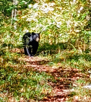
Near the end of the hike, I heard a something in the woods to my left and saw black, hairy bear. About fifty yards later I got a clear picture and video of the bear.
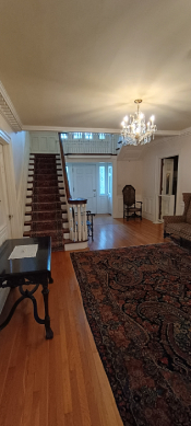
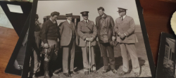
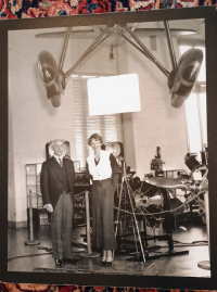
As part of Dayton Aviation Heritage National Historic Park, Hawthorn Hill is the landmark mansion of the world’s first pilot, Orville Wright. Tours of the mansion, a National Historic Landmark, are through Dayton History/Carillon Historical Park. A shuttle bus took us from Carillon Park to the mansion, and a guide escorted us room by room throughout the two-story home providing engrossing history and anecdotes about Orville, some of his famous guests (including Ronald Reagan, Franklin D. Roosevelt and Charles Lindburgh), and artifacts in the home. Construction on the mansion began in 1912 and was completed in 1914. Orville Wright lived here from 1914 until his death in 1948.
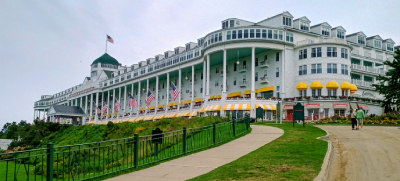
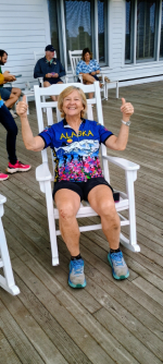
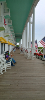
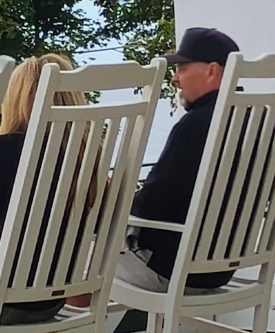
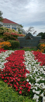
Built in 1887, this incredible porch is 660 feet long in front of the Grand Hotel overlooking the traits of Mackinac and Lake Huron. The porch is lined with red geraniums, American flags, and countless comfortable, white rocking chairs. We had just finished bicycling twice around the island (eight miles per lap on Lake Shore Drive) and rested on the porch taking in the beautiful view of the green grounds, pool and Mackinac Bridge in the distance. Unless you are a hotel guest, it costs $12 per person to gain access to the porch. Is the man in the rocking chair (Photo #5) a famous movie star?
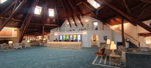
I remember the Ghost Hunters TV Show back in 2011 devoted an entire show investigating here so I stopped by this beautiful resort. The two ladies at the front desk referred me to another staff member who related some paranormal information. The ghost investigation focused on a former student named Harvey as well as voices and footsteps allegedly in the theater room and possible sightings of a little girl on the balcony.
The resort itself has some buildings that were constructed between 1955 & 1965 and have over 240 rooms or suites, an outdoor swimming pool and six restaurants & eateries.
We were bicycling around the island and only had a few minutes so the best investigation I could do was a quick EVP near the theater and outbuilding but got no responses.
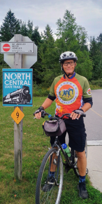
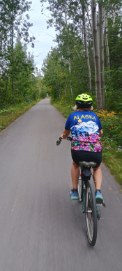
After bicycling around Mackinac Island twice we caught the Shepler’s Ferryboat back to Mackinaw City. Once off the ferry, we biked downtown past a few historical boats that were docked, headed south and connected with the North Central State Bike Trail which leads to Cheboygan. We didn’t bike the entire 16 miles to Cheboygan but biked about 7 miles out and then back enjoying, once out of town, the cooler forest area on both sides of the path.
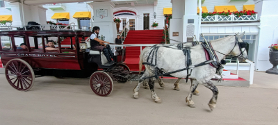
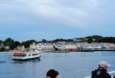
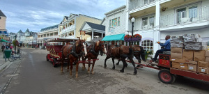
We biked several miles from our campground to downtown Mackinaw City and boarded the Shepler’s Ferryboat. The 20-minute ride across the Straits Of Mackinaw took us to Mackinac Island. Once we exited the ferryboat with our bicycles, we skipped the touristy downtown shops and set off for the 8.2-mile bike ride around the island. The perimeter loop bike trail along Lake Shore Drive is completely free of cars as the entire island is bike friendly. Other than other cyclists, you occasionally passed a horse-driven carriage or wagon and had to steer around lots of horse poop. For some odd reason the state park elects not to attach poop bags to the horses (they say it is too stressful for the horses) so poop is everywhere. We met and talked to two full-time poop cleaner-uppers whose entire day job is to sweep up poop and place it on their horse-pulled wagon which, you guessed it, will also poop on the road.
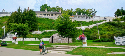
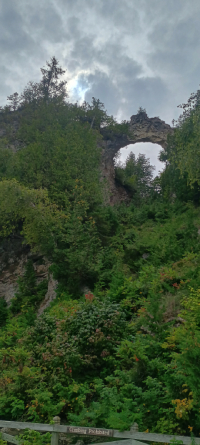
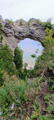
Once out of the scenic downtown area, most of the flat ride gave us incredible views of Lake Huron, rock arches, distant land and islands, the great Mackinaw Bridge, seashores and many birds (mainly gulls). We enjoyed the loop so much that after lunch, we did a second loop and then ascended through the middle of the island past old cemeteries, the small airport, Fort Mackinac, the Grand Hotel, forests and other sites.
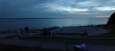
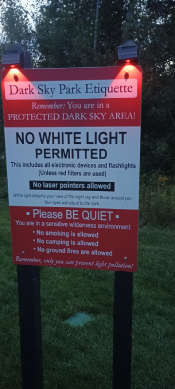
This county park sits along the Lake Michigan shoreline west of Mackinaw City. The site has a visitor center with restrooms and a gift shop. Outside is a semi-circle amphitheater where people can sit or lay down and view the stars and Milky Way. Rosie lay on a blanket and enjoyed the dark sky overhead. We were only permitted to have red lights in the dark sky viewing area, no white flashlights or cellphones. We enjoyed a short hike on the Frog Pond Trail followed by the fascinating one-mile Discovery Trail consisting of various discovery stations spaced out along the route. Each station had signage with information about a planet, cultural information and indigenous artwork.