Biking Team: Dave Miller, Rosie Miller
Date: September 5, 2024
We bicycled this section of the GAP (Great Allegheny Passage Bike Trail) beginning at the Meyersdale, Pennsylvania Historical Society building which was an old train station. The GAP was a total of 150 miles long, so today’s trip was from Mile 31 to Mile 19 and back.
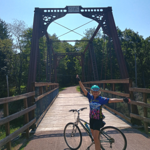
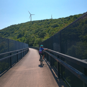
We began at Meyersdale and headed north two miles and crossed the Salisbury Viaduct, a steel trestle 1,908 feet long and 100 feet high as it crosses the Casselman River, railroad tracks and State Route 219. Just past this huge bridge built in 1912 was a pioneer children’s cemetery. We turned around and headed southeast on the trail back through Meyersdale with our goal being the Maryland border. The crushed limestone bike path was smooth as we bicycled through tree covered and open farmland, creeks, and past deer, chipmunks, apple trees and maple trees (as this area was known for producing maple syrup). This section of the GAP was called the “Trail of Bridges” as we crossed over several bridges and viaducts. The first was a former B & O Railroad bridge called the Bollman Bridge (Photo#2), an old rare iron bridge built in 1871. Later we crossed the Keystone Viaduct (Photo#3), a curving 910-foot bridge above Flaugherty Creek.
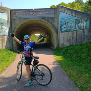
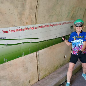
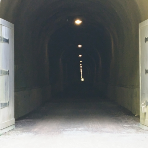
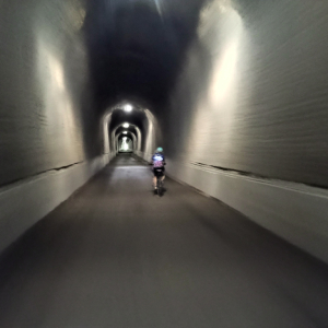
Six miles later as a bald eagle flew overhead, we came to an overpass that was the Eastern Continental Divide (at Mile 23.7) and the highest elevation point on the GAP at 2,392 feet (Photos#4 & #5). Thanks to the engineers that designed the GAP, it climbs the Allegheny Mountains gradually, reaching its high point 125 miles from Pittsburgh and 24 miles from Cumberland, Maryland. As we took photos a young couple (Photo#6) bicycled up, each pedaling a recumbent bicycle with a solar panel on top (Photo#7). Their names were Megan and Thomas, and they were biking cross country. Their two-month journey began in San Francisco, and they were headed to Washington, DC. We talked to them for a while then biked a mile to the Big Savage Railroad Tunnel (Photos #8, #9 & #10) built in 1911 and reconstructed for bicycle trail use in 2003. The tunnel is 3,300 feet long, 17 feet wide, (2/3 mile), the longest structure on the GAP. The temperature in the tunnel was refreshingly cool and as we emerged, we had a spectacular vista (Photo #11) looking south at the hills of Pennsylvania and Maryland. A couple miles south of the tunnel was the Mason-Dixon Line, and the beginning of the state of Maryland. We turned around and began bicycling the 11 miles back towards Meyersdale.