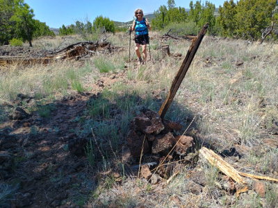
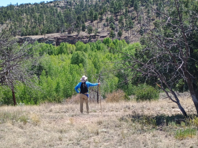
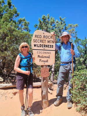
Hiking Team: Dave Miller, Rosie Miller
Date: May 23, 2024
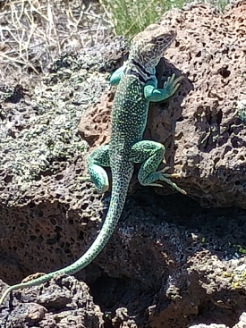
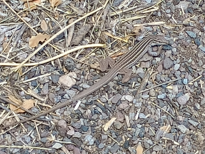
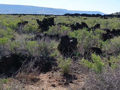
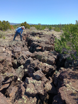
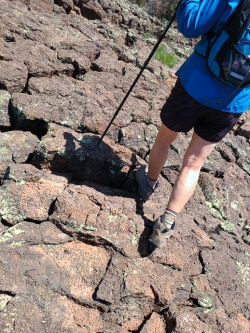
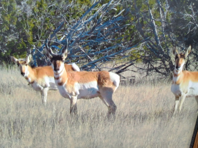
Due to the park rangers doing a controlled burn, smoke obscured the hiking trail we wanted to go on, so we drove to another section of the park. This trail is 7.5 miles in length, and we hiked about 4.5 miles of it. The trail was challenging because much of it was over rugged lava flows. The hard black lava rock was unforgiving on our joints. The trail was marked by cairns, a series of rock piles because you can’t drive in stakes and signs into the hard lava rocks. Rosie graciously let me trailblazer again so that I could sight rattlesnakes first, but I was busy navigating and searching for cairns. The terrain was very uneven so I tripped a lot as I couldn’t watch where my feet were going as I was trying to spot cairns. This trail has been used for generations to connect the Zuni Pueblo (or settlement) to the Acoma Pueblo. The highlight of the hike was discovering a giant 1.5-foot-tall ant hill and sighting a large Collared Lizard. An interesting but scary note: signage stated to look for and report any former munitions/bombs as this area was once used for World War II bomber training.