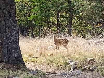
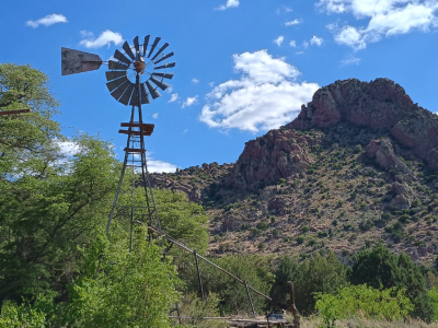
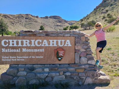
This large forest is spread throughout the mountain ranges in southeastern Arizona and southwestern New Mexico. The Chiricahua Mountains are in this forest which we saw when hiking the Chiricahua National Monument. As we drove through, we saw several mule deer along the road.
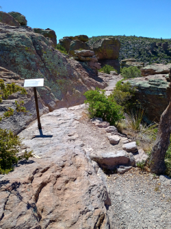
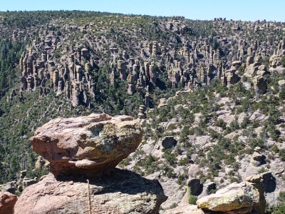
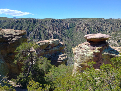
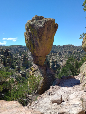
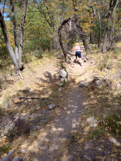
At 6,870 feet elevation, this .5-mile trail was rated moderate due to uneven footing, steps and rocks. The trail featured grand vistas of the surrounding valleys and mountain ranges, hoodoos, a large balanced rock and trail signs highlighting the natural history of Chiricahua Monument. In the distance to the south was Coronado National Forest. A few lizards scampered across our path in the heat as we carefully hiked this rocky trail. Behind the few trees were a couple mule deer.
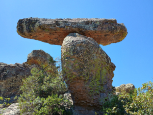
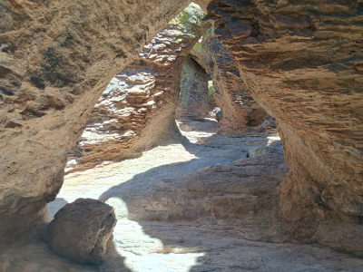
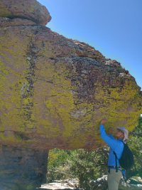
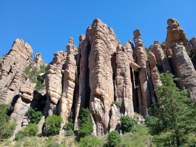
About one mile along the Echo Canyon Loop Trail, we passed more rock hoodoos, the famous “Balanced Rock” and also “Goblet Rock”. We hiked into a “tunnel” of large rocks called “The Grotto”. The sun made the rocks very colorful plus it was much cooler in the shade. The Grotto was a maze with some triangular shaped rocks, low areas we had to duck through and of course, lizards. It was pretty in its own sort of way.
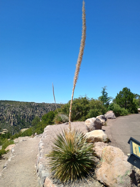
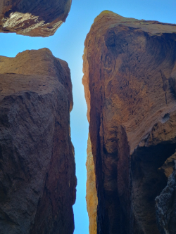
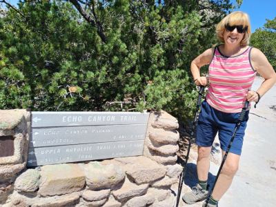
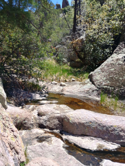
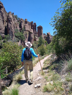
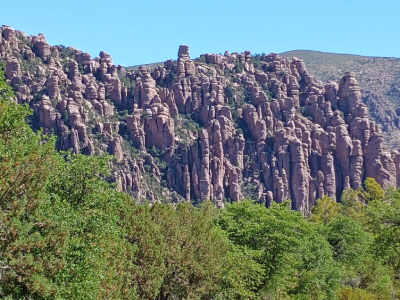
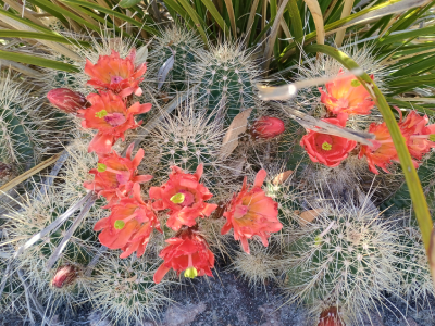
From the visitor center at 5,400 feet, we drove eight miles along the ascending and winding Bonita Canyon Drive to Massai Point at 6,870 feet. This was quite a trail as it began at the top of Echo Canyon which was .3 mile from Massai Point at 5,780 feet elevation. This 3.5-mile loop trail was a combination of three trails in one. The first 1.6 miles was the Echo Canyon Trail. It was recommended that we hike the loop counterclockwise as the last 1/3 is an easier ascent out of the canyon. I am glad we did because it got very hot as we hiked lower into the canyon. The trail winded through spectacular rock formations, not exactly shaped like the Bryce Canyon NP hoodoos, but spiraling rock pinnacles everywhere. Yes, this national monument should be renamed a national park. Lizards scampered everywhere along the trail. We had to be careful picking our way down the rocky, winding incline. At about the one-mile mark we entered a “tunnel” of large rocks called the Grotto. Farther along we came to an area on the trail called Echo Park. I let out a scream and sure enough, it echoed back. At 6,330 feet the dry, rocky trail changed to trees, green bushes and a small stream trickled along at the canyon bottom. We turned left (east) onto Hailstone Trail which was fairly level as it traversed the canyon. It was hotter and dryer and desert plants like yucca, agaves, prickly pear and hedgehog cactus grew beside the trail. One mile later we turned north onto Ed Riggs Trail. The temperature was hot and the climb challenging as we ascended 400 feet up over the next .8 miles. As we neared the top there were many pine trees growing to our left and I could see Massai Point off to the right. This was a challenging but great 3.5-mile hike with outstanding views of the pinnacle rock formations.
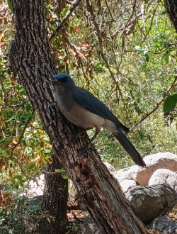
After eating lunch at a picnic table across from the Visitor Center and getting dive bombed by large Mexican (blue) jays who wanted my sandwich, we began hiking west keeping an eye out for javelinas or the elusive coatimundi. Bonita Creek winded parallel to the trail. Usually dry, the creek had several pools of water. Rangers told us a mother coatimundi with eight babies were spotted the day before drinking from the creek. Hiking through a meadow of grass, mesquite and cactus we passed two huge stone fireplaces, remnants of a former Guest Ranch that once stood there. The meadow was home to a (CCC) Civilian Conservation Camp in the 1930’s. As we approached the Stafford Cabin, I told Rosie I see a shadow in the distance that looks like a turkey. We crept along the trail to the cabin, peered around it and yep, we saw four big wild turkeys and several Arizona white-tailed deer graving in the prairie grass.
The trail entered a denser section of oak, juniper and sycamore trees in this part of Bonita Canyon and eventually we reached the Faraway Ranch Building and educational kiosks. We drank some water and turned around to head back the same trail. Overall, we hiked 3.4 miles on this trail. We saw several Chiricahua fox squirrels and thought she saw a coatimundi, but I think it was a squirrel.
I wanted to visit here because this could be the next (64th) National Park. The proposal has been in the Senate for over 1.5 years and hasn’t been passed upward yet. I think they are waiting until Bozo Biden can figure out where Arizona is at. This year is the 100th anniversary of Chiricahua, established in 1924. Apache Indians call the pinnacles here “standing up rocks” which climb to a sky island. As you drive across 35 miles of grassland from Wilcox suddenly this isolated mountain range rises out of nowhere. Work crews were widening the road from two to four lanes the three miles before entering the park, so I take that as a positive sign that Chiricahua is still going to be named a national park soon.
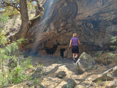
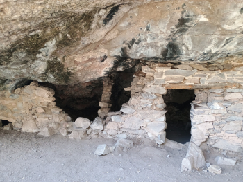
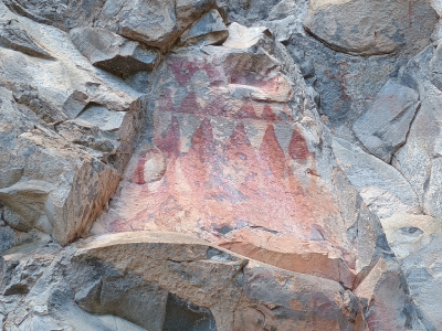
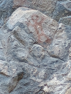
We parked at the Lower Scorpion Campground Trailhead. We hiked east for ¼ mile and came to many very clear pictographs painted on a rock cliff area by the Mogollon people. They used a mixture of water and a mineral called powdered hematite. The pictographs have existed 750 years and are still very colorful. A mile farther down the trail we came to remnants of a small two-room Mogollon Cave Dwelling. This shelter is made from clay (for mortar), rocks and water from the nearby river.
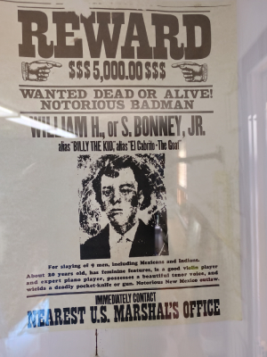
We drove about 30 of the 84-mile scenic byway which pays tribute to famous Wild West Outlaw Billy the Kid. We saw Fox Cave, a one-time hideout for Billy and his gang. The BTKNSB Visitor Center in Ruidoso had exhibits about Billy who killed 21 people and was shot and killed at age 21 in 1881. Sadly, one month after we traveled here, a huge wildfire was devastating the Ruidoso Forest area.
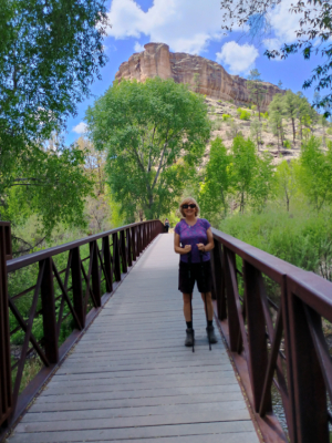
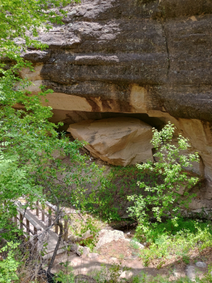
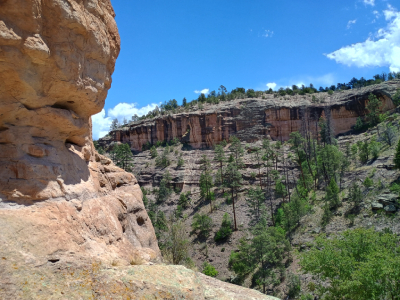
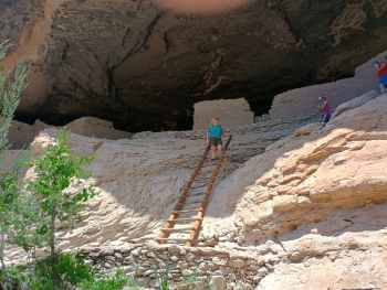
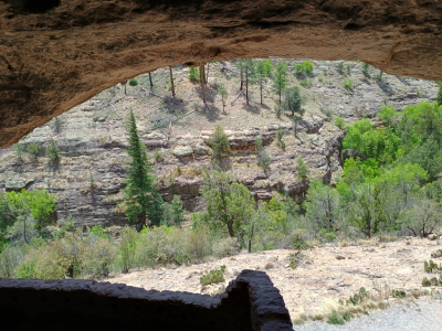
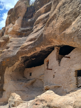
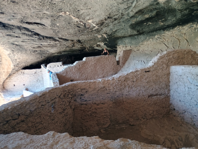
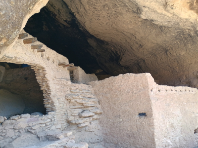
The trailhead started at 5,695 feet and the one-hour hike is about 1.1 miles long with an elevation gain of about 180 feet. The trail is wooded and winds through a picturesque canyon with several footbridges crossing a stream. We ascended steps several times and then saw the cliff dwelling above. We climbed a short ladder and entered the dwellings, able to walk through the entire complex. One entrance had a T-shaped doorway made from wood. The cliff roof offered a solid roof over your head, small rooms for storage, larger rooms as living space and a fire pit for cooking. The view from the rooms looking out of the cave into the canyon was beautiful. Eventually, we climbed down a long ladder to leave the dwellings. The trail then wrapped around the canyon overlooking Cliff Dweller Creek and eventually descended back to the starting point. There were lots of steps on this trail: 377 steps up to the dwelling, 80 inside the caves and 248 steps back to the starting point = 616 total steps.
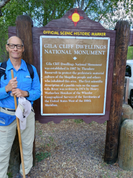
These Mogollon cliff dwellings located in the Gila Wilderness on the headwaters of the Gila River housed 10 to 15 families and were built in the caves around 1275. The cave elevation is around 5875 feet. The Mogollon people hunted wild animals, gathered wild plants, and grew their own crops. It is unknown why the families left the dwellings in the 1300’s. The cliff dwellings are one of the few dwelling sites that allow interior access to us visitors. A visitor center and museum are located a couple miles from the cave dwelling. Archeologists have identified 46 rooms in the five caves in this isolated canyon area. This national monument site reminded me of Mesa Verde National Park which contained much larger cliff dwellings.