GILA NATIONAL FOREST New Mexico

Expedition Team: Dave Miller, Rosie Miller

Date: May 14 & 15, 2024

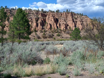
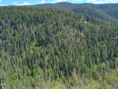
This is the sixth largest national forest comprised of 2.7 million acres. We drove much of it in southwest New Mexico. We crossed the Continental Divide several times, saw 73-acre Lake Roberts called the “Emerald of the Gila Forest”, saw the Gila River and hiked at Gila Cliff Dwellings National Monument and other trails. The forest’s terrain has rugged mountains, thick tree canopies, deep canyons, wilderness areas, and semi-desert areas. We did not see any Gila monsters/lizards, the namesake of the forest. The Forest was established in 1924 and was the first designated wilderness area in the USA. Legendary leader Geronimo was born near the Gila River headwaters in the early 1820’s. Back at the campground at Silver City, we were able to have a campfire, one of the few places on our trip that did not have a fire ban. We cooked smores and a camping couple from California brought over some peach brandy.

TRAIL OF THE MOUNTAIN SPIRITS NATIONAL SCENIC BYWAY New Mexico

Expedition Team: Dave Miller, Rosie Miller

Date: May 14 & 15, 2024

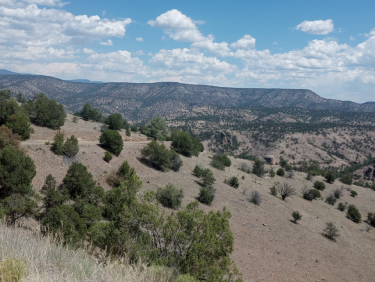
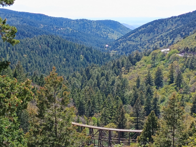
This scenic road winded 93 miles around the southwest corner of New Mexico back and forth across the forested Continental Divide. We took the road up 7,000 feet and over the mountain ridges and countless switchbacks in the Gila National Forest wilderness to the Gila Cliff Dwellings National Monument then back to Silver City. We drove where “the spirits of miners, homesteaders, Native Americans, Indians, outlaws, Buffalo Soldiers and mountain men have left their marks”. This road had incredible vista views of the forest ridges, but this road was slow, difficult, had endless “s” curves and was very hard on the brakes. Some areas of the scenic road had “open range” signs with no fences where cattle, horses and other animals can wander onto our path any time.  

FORT DAVIS NATIONAL HISTORIC SITE Fort Davis, Texas

Expedition Team: Dave Miller, Rosie Miller

Date: May 9, 2024

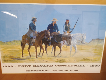
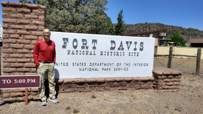
In western Texas we visited this well-preserved western frontier fort, a key post in the defense system of the southwest. From 1854 to 1891, troops stationed here projected emigrants, mail stagecoaches, travelers and freighters on the San Antonio-El Paso Road. The fort is located in a box canyon on the east side of the Davis Mountains. At one time the fort had 100 structures and over 400 soldiers.

We toured the men’s barracks, officer’s kitchen and servant quarters, hospital and lieutenant quarters. The ranger told me the cavalry briefly experimented with camels instead of traditional horses. The fort also housed two all-black regiments called Buffalo Soldiers.

After touring the fort, we ate lunch (I had a delicious Rueben) at Stone Village Market in this small town of 1,200 people. One note, along these Texas roads I observed lots of bluebonnet flowers, lots of dead armadillos and counted at least three roadrunners sprinting across the road in front of my truck. We also encountered lots of blowing tumbleweed. When I got back to Ohio 23 days later and got my truck serviced, the mechanic discovered tumbleweed stuck in my brake mechanism. 

BUFFALO NATIONAL SCENIC RIVER Ponca, Arkansas

Expedition Team: Dave Miller, Rosie Miller

Date: May 2 & 3, 2024

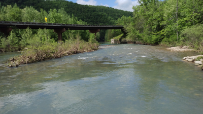
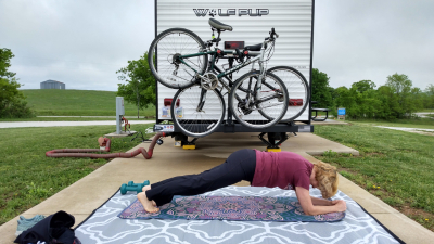
America’s first National River, established in 1972. The river flows freely for 135 miles and is one of the few remaining undammed rivers in the lower 48 states. The water level is dependent on rainfall and the deeper water is in the upper district making whitewater kayaking very challenging for skilled kayakers. We planned to kayak there but recent rains made the upper district very treacherous, so we decided to hike instead. One of the trails was somewhat parallel to the river giving us great scenic photo opportunities. After hiking one long trail, we took off our hiking boots and dipped our tired feet in the river’s cold water which was invigorating. We camped at the Buffalo Outdoor Center Campground, located atop the ridge giving us beautiful vista views of the valley beyond. Rosie enjoyed stretching and working out at the campsite.

HIKED OSHA TRAIL Lincoln National Forest, Cloudcroft, New Mexico

Hiking Team: Dave Miller, Rosie Miller

Date: May 13, 2024

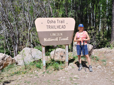
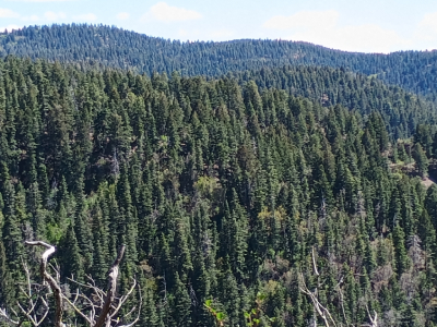
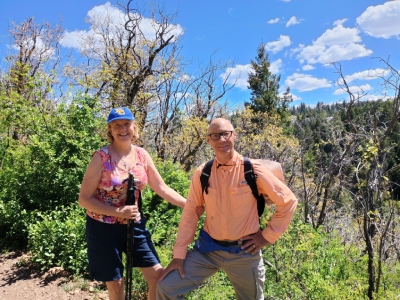
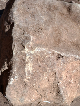
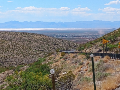
After hiking two trails in the heat at White Sands National Monument, we drove from 4,000 feet at Alamogordo to 8,000 feet up into the National Forest. We pulled into the parking lot where elk were grazing. The 3.5-mile trail would climb and descend through the shady mountaintop consisting of white fir, Douglas fir and ponderosa pine. Sometimes the trees opened to areas of bluegrass. The cooler temperature made this a tough but enjoyable hike. At one location there was a bench on the trail where you could sit and look down the canyon and see White Sands a long distance away. One cool find: I picked up a rock on the trail and found petroglyphs/pictographs drawn on a rock.

LINCOLN NATIONAL FOREST New Mexico

Expedition Team: Dave Miller, Rosie Miller

Date: 2004 & May 12 & 13, 2024

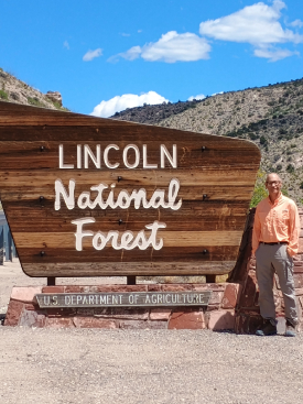
This beautiful forest of 1.1 million acres of forest tree landscapes to rugged canyons and gently sloping foothills. Elevations range from 4,200 feet to 11,500 feet. The section of forest that we recently drove into was southeast of Alamogordo. We had lunch at a rest area halfway up the mountain in a canyon by a waterfall trail. In the national forest, we hiked the OSHA Trail which had amazing views westward through the canyon towards Alamogordo and White Sands in the distance. We saw elk in the forest and beautiful wildflowers and thick forests.

VISITOR CENTER ADOBE NATIONAL HISTORIC DISTRICT Alamogordo, New Mexico

Expedition Team: Dave Miller, Rosie Miller

Date: May 13, 2024

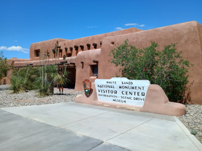
The visitor center complex is a national historic district because it is designed in a Pueblo Revival style and was a job-creation project during the 1930’s Great Depression. The interior of the visitor center presents various examples of artistry in construction and furnishings, such as decoratively carved corbels, benches and chairs, and individually crafted tin lighting fixtures. In 1990, the visitor center and adjacent seven buildings, also built between 1936 and 1940, were officially designated as an historical district. Set in a landscape of native plants, the historic district preserves this unique architectural style and is a tribute to the plans of the architects and the fine artisanship of the WPA workers.

HIKED LIGHTHOUSE OVERLOOK TRAIL Fort Pulaski National Monument, Savannah, Georgia

Hiking Team: Dave Miller, Rosie Miller, Joe Gillivan

Date: December 2, 2023

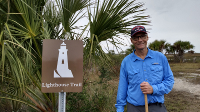
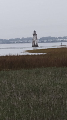
The 1.7-mile trail began outside and just north of Fort Pulaski and ended with a close-up view of the Cockspur Island Lighthouse. The lighthouse was built in 1856 marking the entrance of the South Channel of the Savannah River. It is only 46 feet tall which is why the short lighthouse survived the bombardment during the April 1862 Civil War battle for Fort Pulaski. 

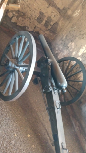
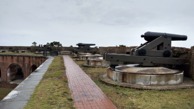
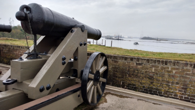
The flat trail was a mix of sand, shell and dirt and was surrounded by palmetto, scrub palm, salty marsh grass and semi-tropical plants. We saw lots of migratory birds and hundreds of fiddler crabs especially as the land became soggy due to the high and low tides. Since occasionally a gator would enter the fort’s moat during low tide, Rosie kept scanning the foliage along the trail for a gator or eastern diamondback rattlesnake to suddenly appear. The end of the trail became a nice boardwalk with historical signage and a great view of the lighthouse. In the distance you could see a larger lighthouse across the channel at Tybee Island. Photo #4 are confederate cannon aimed at Tybee Island.

OLD FORT JACKSON NATIONAL HISTORIC LANDMARK Savannah, Georgia

Expedition Team: Dave Miller, Rosie Miller

Date: December 2, 2023

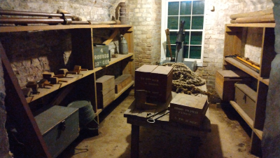
Another well-kept fort located along the Savannah River three miles east of Savannah. The fort was constructed in 1808 by President Thomas Jefferson for coastal defense which came in handy guarding Savannah during the War of 1812. The Union took over in 1864 during General Sherman’s “March to the Sea”. I climbed onto the second level where cannons were tucked behind the parapet wall aiming toward the river. I also viewed the ammunition and magazine rooms. Staff in period uniform were cooking over a fire and another staff member showed me two old rifles and how to load and fire them. Outside the fort near the draw bridge and sally port was a sentry box once used by fort soldiers while on guard duty.