HIKED LOST MINE TRAIL Big Bend National Park, Texas

Hiking Team: Dave Miller, Rosie Miller

Date: May 8, 2024

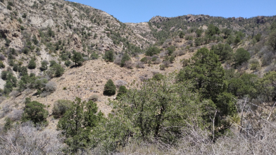
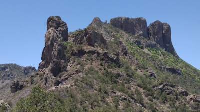
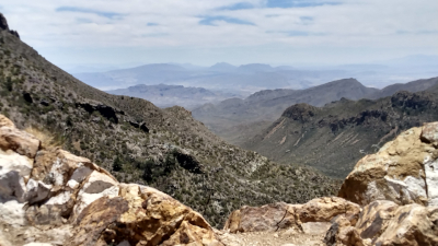
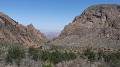
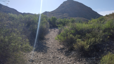
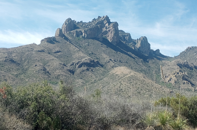
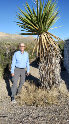
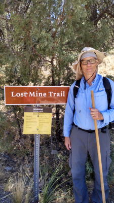
As the afternoon temperatures soared to 82 degrees even at this high altitude, this tough trail climb (1,100 feet gain) was worth it as once we crested the ridgeline, it was a beautiful, picturesque view. We had excellent mountain and desert views especially looking southeast down Juniper Canyon and the northeast rim of the Chisos Mountains. We could also see the Rio Grande River snaking between the USA and Mexico. This viewpoint was between Lost Mine Peak at 7,550 ft and Case Grande at 7, 325 feet. There was little shade on this trail, so I was glad the last mile of this 3.2-mile trek was downhill. Near the trailhead (photo #2) was a large century plant. This was our fourth and final hike of the day, so we drove north out of the park and 100 miles to our campground at Fort Stockton. Temperatures reached 102 degrees in the flat basin.
HIKED WINDOW VIEW TRAIL Big Bend National Park, Texas

Hiking Team: Dave Miller, Rosie Miller

Date: May 8, 2024

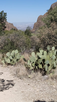
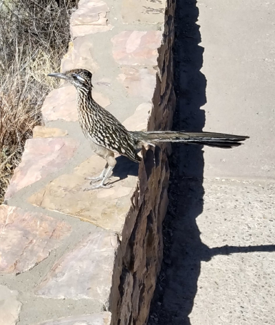
Before beginning this trail, I had a big surprise. I saw a bird, a roadrunner just down the path. Expecting it to sprint away it looked at me and hopped closer and closer and basically posed for me. What a great surprise. I took four photos before he sped off in the cane cholla cactus and brush. Big Bend National Park is recognized as a Globally Significant Bird Area with 450 species sighted in the park. Roadrunners can run up to 20 mph and they eat small rattlesnakes and lizards.

We began this .5-mile loop trail which led us to an area to view “the Window”, a gap in the mountains of the Chisos Basin where we can look many miles to the west towards Terlingua, Burro Mesa and Tule Mountain. Two benches were at this shady overlook and there sat an old Mexican lady. Rosie told her we were from Ohio. She immediately told us about all the Ohio tornadoes that had been happening. We were oblivious to this since we had no TV or newspapers for our thirty-two-day trip. Another hiker approaching us said a black bear and her cubs crossed this trail yesterday, so we kept looking for them in the vicinity but no luck.

HIKED BASIN LOOP TRAIL Big Bend National Park, Texas

Hiking Team: Dave Miller, Rosie Miller

Date: May 8, 2024

We picked up trail maps at the Panther Junction Visitor Center then drove nine miles of sharp curves and steep grades up to Chisos Basin. The trailhead began at an elevation of 5,401 feet which kept the temperatures in the 70’s for our 2.2-mile hike on this moderate difficulty trail. This circular trail climbed towards Emory Peak at 7,825 feet where our trail connected with Pinnacles Trail to lead up to the peak. Our trail gave us nice views of the Basin area. We kept on the lookout for black bears, mountain lions, rattlesnakes and javalinas. Eventually, the trail slowly descended and at times we could see “the Window” (a break in the mountain) in the distance. The ranger kept track of who hiked each of the three trails here in case a rescue was needed due to the heat.
HIKED PERSIMMON GAP VISITOR CENTER TRAIL Big Bend National Park, Texas

Hiking Team: Dave Miller

Date: May 8, 2024

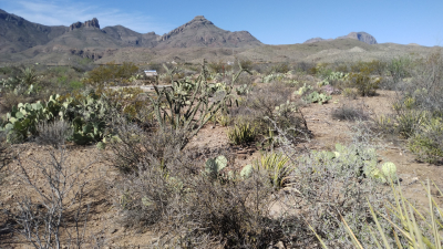
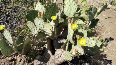
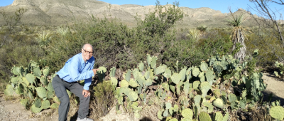
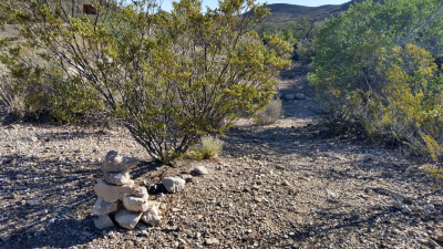
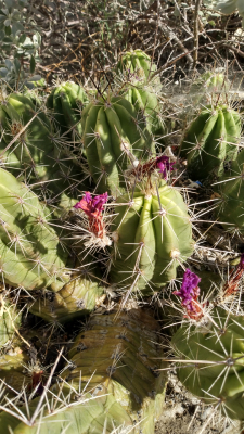
After a one-hundred-mile drive south from our campsite at Ft. Stockton, we entered the north entrance to the park. While Rosie went to the restroom, put on her hiking boots and put on sunscreen, I hiked one mile on this rough trail that was marked with cairns. The not very wide trail through the foothills of the Santiago Mountains was a combination of sand, dirt, and stone with shrubs, wildflowers and cactus brushing my pants legs. I kept my eyes and ears open for rattlesnakes. Back near the closed visitor center I educated myself on various cacti and native plants which were identified with signage. Beautiful yellow blooms grew from the ends of the prickly pear cactus.

BIG BEND NATIONAL PARK Texas

Expedition Team: Dave Miller, Rosie Miller

Date: May 8, 2024

This huge national park is in southwest Texas on the international border between the USA and Mexico. The Rio Grande River separates the two countries. The park is the largest protected area of the Chihuahuan Desert. The park has over 1,200 species of plants, 450 species of birds, 56 species of reptiles and 75 species of mammals. The contrast in elevation, from 1,175 feet along the Rio Grande River to 7,825 feet at the summit of Emery Peak (near where we hiked), results in microclimates and terrain that increase biodiversity.

Due to President Biden’s weak border policy and enforcement, we felt unsafe camping at a campground on the border. We chose to camp 100 miles north in Ft. Stockton and drive to the park and hike all day. We then drove back in 102 temperatures in the evening. Still, coming into the park from the north, we hiked five great trails in low and high elevation.

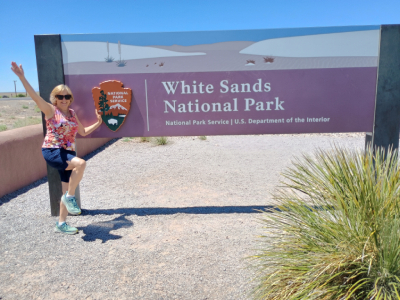
HIKED DUNE LIFE NATURE TRAIL White Sands National Park, Alamogordo, New Mexico

Hiking Team: Dave Miller, Rosie Miller

Date: May 13, 2024

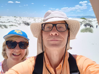
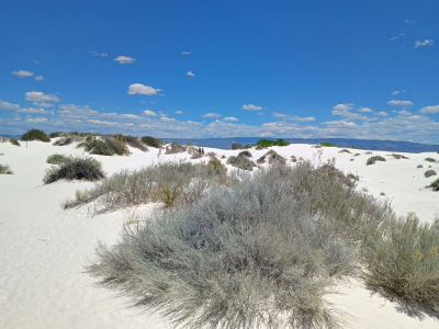
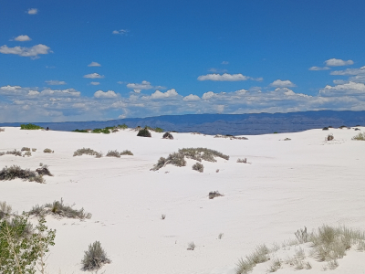
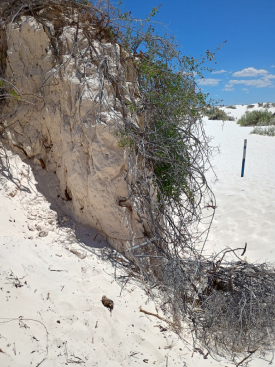
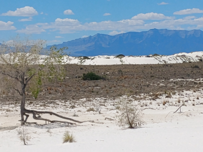
This hike reminded me of Great Sand Dunes National Park in Colorado. It was a tough hike and climb in several places as we ascended soft, deep sand to a ridge overlooking lots of dunes. Wooden stakes marked the one-mile trail which continuously took us up and down. This was draining in the 82-degree hot sun. Some desert plants adopted and grew below the sand, poking through. I saw a few tracks and rangers told us that some animals came out at night such as lizards and mice. Some patrons rented sleds and tried sliding down the sand dunes. You could clearly see the San Andres Mountains to the north beyond the sand dunes.

HIKED PLAYA TRAIL White Sands National Park, Alamogordo, New Mexico

Hiking Team: Dave Miller, Rosie Miller

Date: May 13, 2024

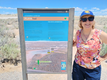
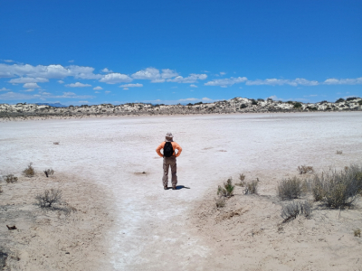
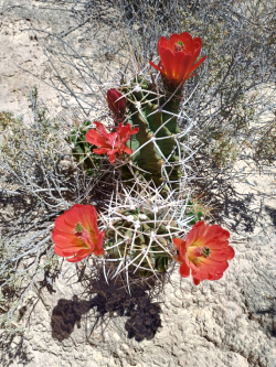
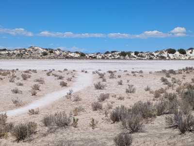
This .5-mile trail took us out to this dry desert area of flat, dried-up land, or in other words a barren dry lakebed. The playa can change from brown to white, could be filled with water after a rain or with growing crystals. Just off the trail is a prickly pear cactus with beautiful red blooms and some sage. When we arrived at the playa it was a most definite white today. A nearby education kiosk showed where 10,000 years ago wolf and Colombian mammoth. Sometimes the shifting sand expose these prints but sadly the winds can quickly erode the evidence. The hike was short, but the hot temperature was climbing quickly.

WHITE SANDS NATIONAL PARK Alamogordo, New Mexico

Expedition Team: Dave Miller, Rosie Miller

Date: May 13, 2024

At the northern end of the Chihuahuan Desert lies one of the world’s great natural wonders, glistening white sand dune fields. These 275 square miles create the world’s largest gypsum dune field. Compared to other types of sand dunes, gypsum dunes remain moist during the longest droughts. The dunes are always moving, growing, cresting, slumping and advancing driven by strong southwest winds. Several small animals, including lizards and rodents have evolved a white colorization that camouflages them in the white sand. Several days before we arrived an Air Force plane crashed in the northern end of the park and the Air Force had the road leading to the back 70% of the park blocked and off limits due to the debris and cleanup.

HIKING LEDGES TRAIL Cuyahoga Valley National Park, Brecksville, Ohio

Hiking Team: Dave Miller, Rosie Miller

Date: September 20, 2023

This 1.8-mile trail circles a plateau of rock formations and cliffs. The trail is rocky and unpaved with an elevation change of 80 to 100 feet. Ice Box Cave is just off the trail but was inaccessible to protect the bats living there. Halfway around the trail, we came upon the Ledges Overlook which is a natural rock viewing platform with an opening in the trees which gave us a super view of the Cuyahoga Valley. Stepping down some large rock steps I almost stepped on a four-foot-long black rat snake nestled within the rocks.

HIKING BRANDYWINE FALLS TRAIL Cuyahoga Valley National Park, Brecksville, Ohio

Hiking Team: Dave Miller, Rosie Miller

Date: September 20, 2023

We hiked most of this 1.4-mile loop trail around the falls gorge. The falls itself is 60 feet high with water flowing from Brandywine Creek, a major tributary of the Cuyahoga River. Due to the summerlong lack of rain, water flowed over only about 1/3 of the falls but as you can see by the photos, the falls is still beautiful and colorful. A boardwalk descended 80 steps for a close-up view of the falls. The ravine trail is thick with trees with an elevation change of 140 feet but was quite enjoyable listening to birds’ chirp and watching squirrels and chipmunks run about. After the hike we stopped at the Railroad Depot beside the canal lock at the village of Peninsula where the Cuyahoga Valley Scenic Railroad Train stops.